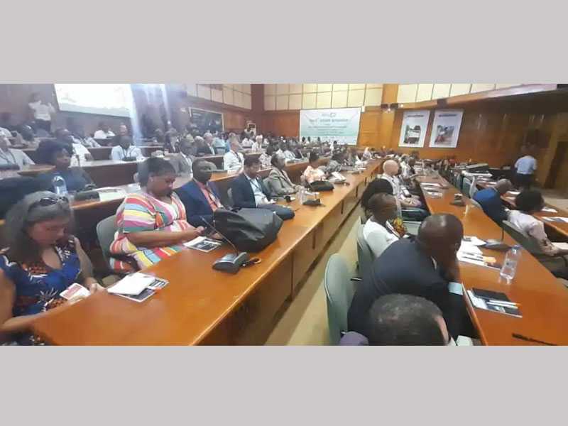
USAID in partnership with National Aeronautics and Space Administration (NASA), Tuesday, launched ‘Phase two’ of the ‘SERVIR’, a satellite imagery technology, to empower regional and national actors to use earth observation and earth science for development gains.
SERVIR-West Africa, hosted by the International Crops Research Institute for the Semi-Arid Tropics (ICRISAT), provides earth observation data drawn from satellite images, geographic information system and predictive models.
The launch with the slogan, “Connecting Space to Village” would enable crop monitoring and condition assessment, desert locust risk mapping, flash flood vulnerability mapping, groundwater monitoring, ephemeral water bodies monitoring, and artisanal mining monitoring.
Others are charcoal production monitoring, commune-level development planning, farmer-managed natural regeneration, sub-seasonal to seasonal forecasting, and sustainable development goals mapping.
Madam Jo Lesser-Oltheten, USAID West Africa Mission Director, said geospatial technology was essential for providing evidence to shape development progress, address climate change and deliver lifesaving humanitarian assistance.
She said the satellite technology provided data to help farmers including livestock farmers to identify safe water bodies for their crops and animals to enable themselves, their dependents and society to sustain a living.
Getting agricultural insurance, she said was one of the hardest things for farmers, as it was considered high risk by financial institutions.
Madam Lesser-Ohneten however said sutellite imaging could show where the potentials on a farm were for farmers to reduce risks to attract investors
Dr Ramadjita Tabo, Director, ICRISAT, West and Central Africa, called on government to create an enabling environment through policies and provide logistics to enhance farming including fertilizer.
“The government and private sector should make resources and credits accessible to encourage many of the youth to enter into agriculture.” he said.
He said 70 per cent of Alek ropeere visible by satellite; however, the best change was yet to come with the satellite technology tone food sovereignty for development.
Dr Tabo said his office and USAID would ensure that SERVIR was implemented to ensure that no one was left behind, adding that their key instant was de poverty alleviation and sustainable development.
The first phase of VIR West Africa was launched in 2016 and the second phase would be implemented in collaboration with some We African institutions, universities and internal organisations.
They include the Regionalenter for Agrometerorology, Hydrology and Meteorology, the African Regional Institute for
Geospatial Information Since and Technology, the Centre de Suivi Ecologique, and the Centre for Remote Sensing and Geographic Information Services.












![Morocco knock out Spain on 3-0 penalties to reach FIFA World Cup 2022 quarter-final, Morocco vs Spain (0-0) (3-0) [Video]. Morocco knock out Spain on 3-0 penalties](https://ghanaregions.com/wp-content/uploads/2022/12/Watch-Morocco-vs-Spain-0-0-and-3-0-penalties-218x150.jpg)


